Trail & nature · Pai, Mae Hong Son
Narrow Ridge Safety at Pai Canyon
There are unprotected drop-offs, loose earth and passing pinch points. Keep distance from edges, give oncoming walkers space and never step sideways for a photograph on a crumbling shoulder.
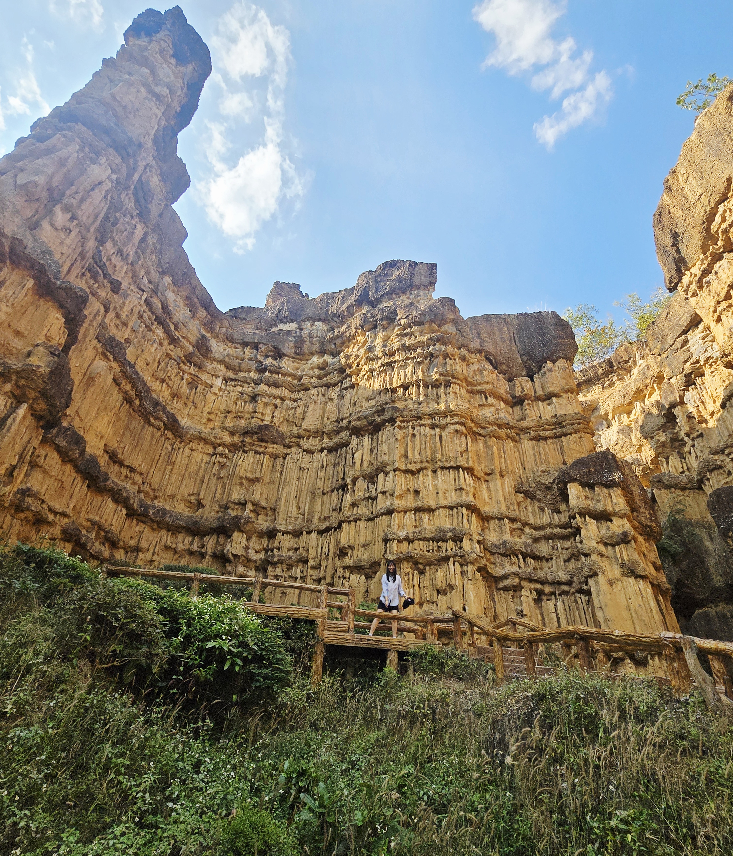
About Pai Canyon and its management
Kong Lan (Pai Canyon) is a natural erosion landscape and a much-loved Pai viewpoint. Thailand’s Forest Recreation Management Office lists the Mae Hong Son branch of Regional Forest Resource Management Office 1 as the lead agency for its forest recreation development project, supported by Mae Hong Son provincial bodies and Thung Yao Subdistrict Administrative Organization. Current onsite access and safety instructions take priority.
Forest Recreation Management Office — Kong Lan project ↗Essential visitor information
Location
Pai Canyon, Mae Hi, Pai, Mae Hong Son, Thailand
Type of attraction
Natural ridge viewpoint and erosion landscape
Entry
Generally free to enter Pai Canyon; transport, parking services and nearby paid attractions are separate expenses.
Suggested duration
Allow 45–90 minutes for the main viewpoint
⚠ Unprotected edges; skip narrow ridges in wet weather
Explore the place
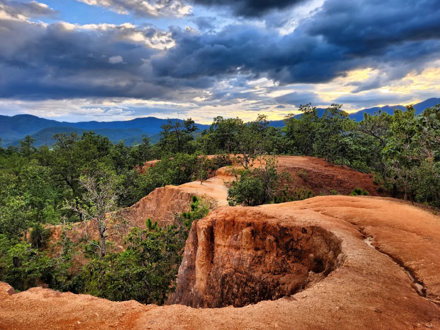
Kong Lan is shaped by rain runoff and weathering rather than human construction. The contrasting bare red crests, eroded gullies and surrounding dry forest explain its distinctive silhouette. The indigenous name is associated with narrow paths; treat the landscape as fragile, not as a built adventure course.
Visitor recommendations
There are unprotected drop-offs, loose earth and passing pinch points. Keep distance from edges, give oncoming walkers space and never step sideways for a photograph on a crumbling shoulder.
Opening hours
Open-air landscape with no consistently verified staffed gate hours; visit in daylight and obey onsite restrictions.
Tickets and prices
Generally free to enter Pai Canyon; transport, parking services and nearby paid attractions are separate expenses.
Getting there
Travel south of Pai town on Route 1095 to the marked Pai Canyon entrance, then walk uphill to the first lookout. Arrange a return ride before sunset.
What makes it special
Kong Lan is shaped by rain runoff and weathering rather than human construction. The contrasting bare red crests, eroded gullies and surrounding dry forest explain its distinctive silhouette. The indigenous name is associated with narrow paths; treat the landscape as fragile, not as a built adventure course.
History, landscape and local culture
Kong Lan is shaped by rain runoff and weathering rather than human construction. The contrasting bare red crests, eroded gullies and surrounding dry forest explain its distinctive silhouette. The indigenous name is associated with narrow paths; treat the landscape as fragile, not as a built adventure course.
Step-by-step walking route
- 01
Park at the designated roadside area and walk up the entrance path.
- 02
Stop at the first broad ridge platform to study the landscape and assess footing.
- 03
Only continue to exposed spurs if conditions and your balance allow; otherwise return the same way.
Suggested visit sequence
- 01
Check the weather and road conditions before leaving Pai town.
- 02
Park responsibly, walk to the broad first viewpoint and assess the ground.
- 03
Take photographs from stable ground and return before darkness.
Before you visit
Bring grippy shoes, drinking water and sun protection. No ticket reservation is generally needed for the canyon itself; nearby businesses may have separate fees and hours.
Photography positions
At the broad first lookout, use a wide lens for winding ridges and the valley; the side-lit red earth is strongest near morning or sunset. Avoid stepping onto crumbly shoulders for a clearer frame.
Where to stay
Pai town offers the easiest access to restaurants and arranged transport. Rural lodging nearer Route 1095 can suit early starts but may require a vehicle after dark.
Visitor reviews
★ 4.5 · 8,480 Google Maps · 2026-11-12
Open this place on Google Maps ↗Pai Canyon landscape photographs
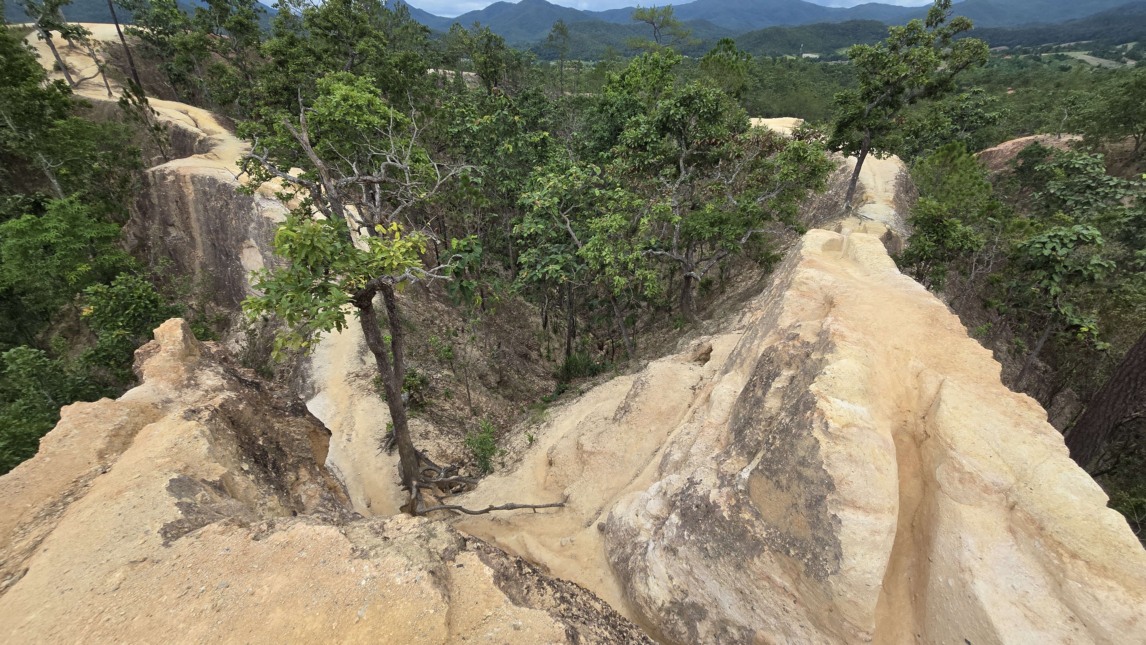
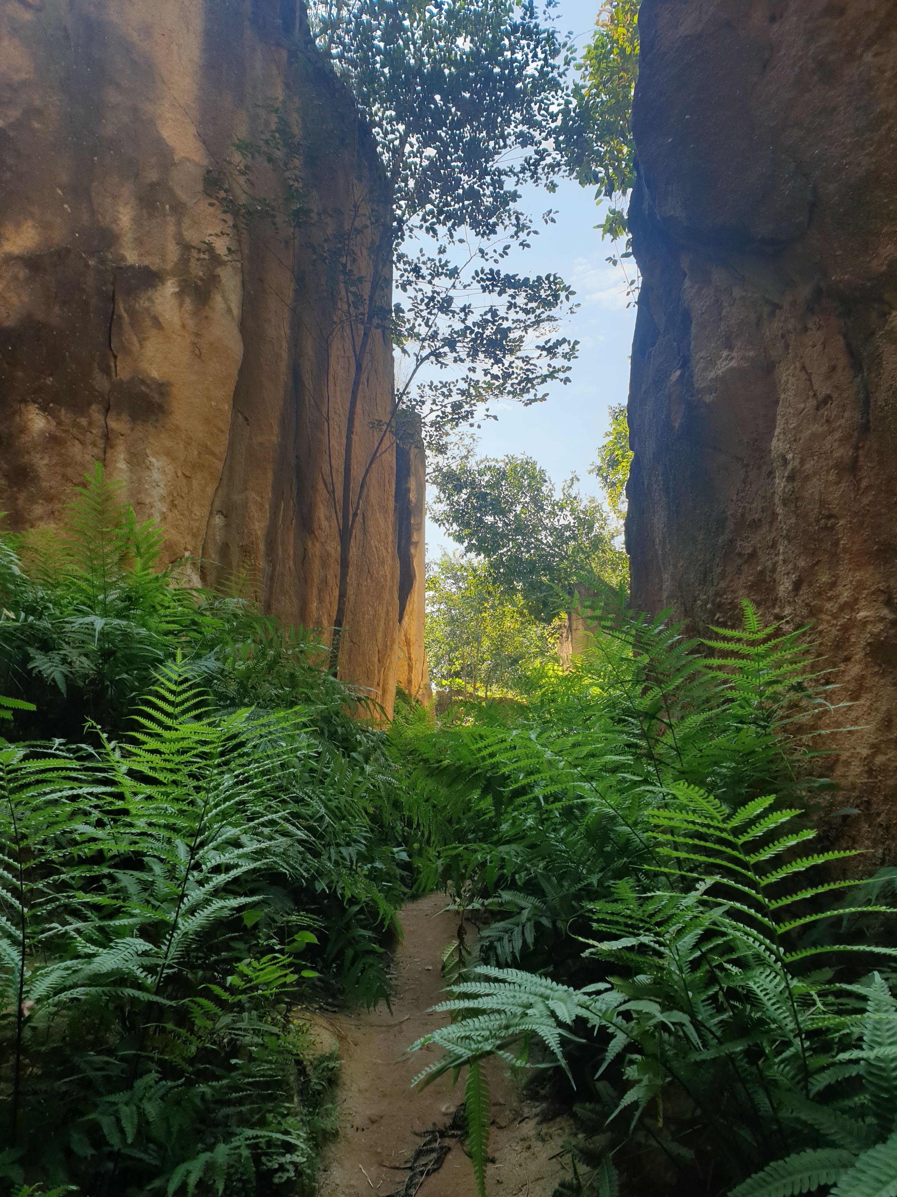
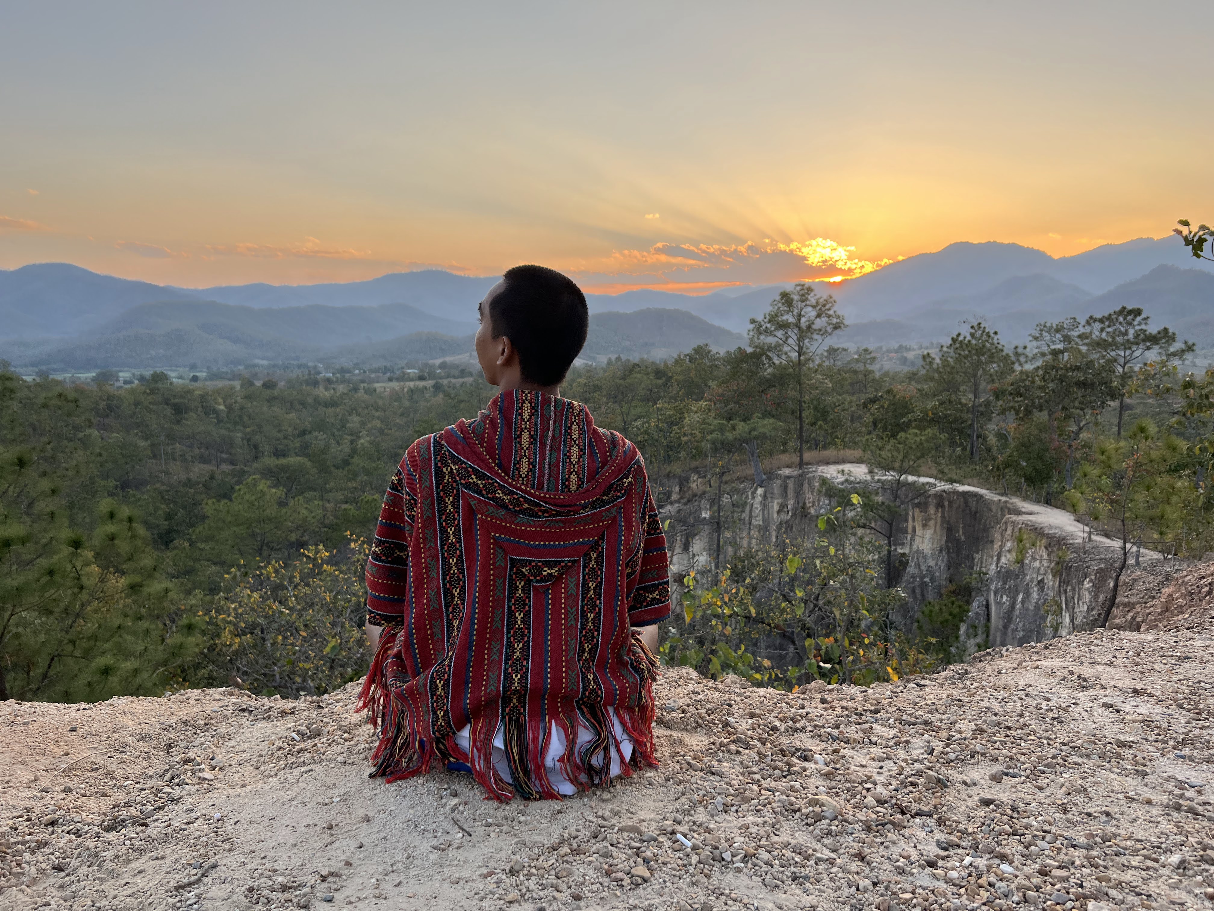
These photographs show Pai Canyon itself, not any separate nearby attraction.
Visitor questions
Is Pai Canyon suitable for everyone?
The first overlook is a shorter visit, but even the approach can be uneven. Narrow exposed ridges are optional and unsuitable for some visitors.
Can I visit after rain?
Wet red-earth paths are slippery and exposed edges can erode. Stay off narrow ridges after rain or storms.
Where is the correct map location?
Use the Pai Canyon Google Maps place link below. Nearby attractions require their own separate map search.
Location and navigation
Pai Canyon, Mae Hi, Pai, Mae Hong Son, Thailand
Open this place on Google Maps ↗